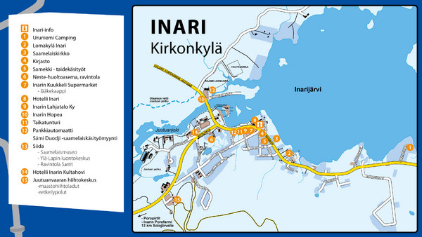
Inari Tourist Map
near Inari, Finland
See more


 See more
Nearby Maps

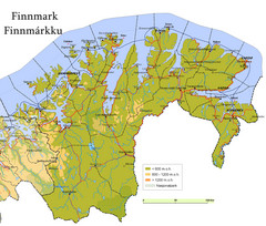
Finnmark County Map
Elevation map of Finnmark County, Norway. Color shading shows meters above sea level and national...
72 miles away
Near Finnmark, Norway

Finnmark Nature Parks and Reserves Map
National parks and nature reserves of Norwegian county of Finnmark. From wikipedia: "In the...
81 miles away
Near Finnmark, Norway

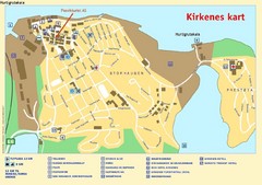
Kirkenes City Map
City map of Kirkenes with tourist information and hotels
93 miles away
Near Kirkenes, Norway

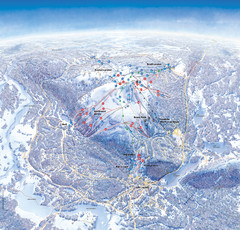
Levi Ski Trail and Village Map
Winter ski trail and village map of Levi ski area in Levi, Finland.
95 miles away
Near Levi, Finland

Levi Ski Trail Map
Ski trail map of Levi ski area in Levi, Finland.
95 miles away
Near Levi, Finland

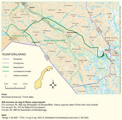
Reisa National Park Map
Overview map of Reisa National Park, Norway on the border with Sweden.
130 miles away
Near Reisa National Park, Norway

 click for
 Fullsize

0 Comments
New comments have been temporarily disabled.