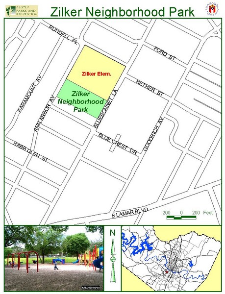
Zilker Neighborhood Park Map
near 1900 Bluebonnet Ln. Austin
See more
 See more
Nearby Maps

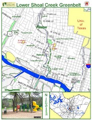
Lower Shoal Creek Greenbelt Map
less than 1 mile away
Near 2799 Lamar Blvd. Austin

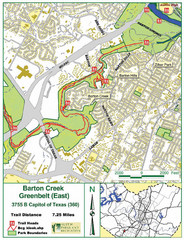
Barton Creek Greenbelt Map
less than 1 mile away
Near Mo-Pac & Barton, Austin

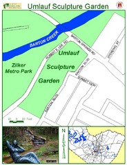
Umlauf Sculpture Garden Map
less than 1 mile away
Near 605 Robert E. Lee Rd. Austin

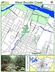
West Bouldin Creek Map
1 mile away
Near 1200 S. 6th St. Austin

Zilker Metro Park Map
1 mile away
Near 2100 Barton Springs Rd. Austin

Mary Dawson Park Map
1 mile away
Near 650 Dawson Rd. Austin

 click for
 Fullsize

0 Comments
New comments have been temporarily disabled.