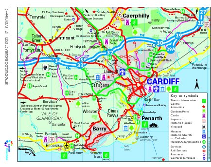
Cardiff Region Tourist Map
near Cardiff, UK
See more

 See more
Nearby Maps

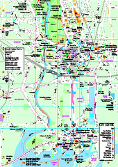
Cardiff City Map
Tourist map of city center of Cardiff, UK. Shows points of interest
2 miles away
Near Cardiff UK

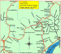
Monmouth and Wye Valley Railways Map
Map showing the 3 major railway lines and the cities with stops of Monmouth, UK.
25 miles away
Near monmouth, uk

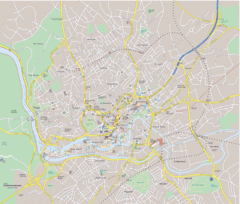
Bristol City Map
Overview map of city of Bristol. Zooms with details available on original website.
26 miles away
Near Bristol, England

Bristol, England Tree Map
26 miles away
Near Bristol

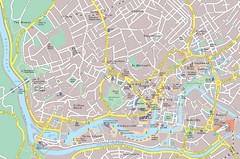
Central Bristol Tourist Map
Neighborhoods, landmarks and streets in Bristol, England
26 miles away
Near Bristol

 click for
 Fullsize

0 Comments
New comments have been temporarily disabled.