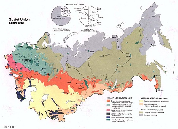
Soviet Union Land Use Map
near soviet union
See more
 See more
Nearby Maps

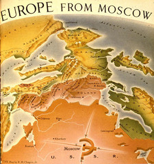
Europe From Moscow (in 1952) Map
Description from strangemaps.wordpress.com: Featured in the Time Magazine issue of March 10, 1952...
less than 1 mile away
Near Moscow

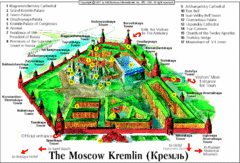
Moscow Kremlin Map
Simple map and key marking this amazing Russian fortress.
less than 1 mile away
Near Kremlin, Moscow, Russia

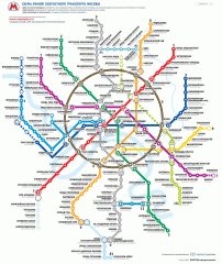
Official Moscow Metro Map (Russian)
Official metro map of Moscow. Schematic, not tied to geography. In Russian.
less than 1 mile away
Near Moscow, Russia

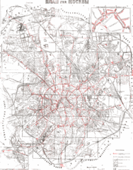
1929 Plan of City Bus Routes Map
less than 1 mile away
Near Moscow

Micronations Map
less than 1 mile away
Near Russia, Moskow

 click for
 Fullsize

0 Comments
New comments have been temporarily disabled.