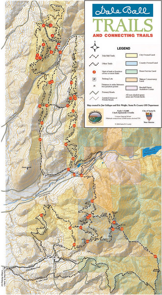
Dale Ball Trail Map
near Santa Fe, NM
View Location
Map of the Dale Ball Trail system includes 22.2 miles of hiking and mountain biking trails that connect to other well-known Santa Fe trails. These connecting trails include: Nature Conservancy 1.27 miles Dorothy Stewart 1.45 miles Atalaya Trail 5.16 miles
See more
 See more
Nearby Maps

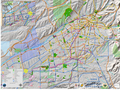
Santa Fe Bike and Trail Map
Trail and bikeway map of Santa Fe, New Mexico
2 miles away
Near Santa Fe, New Mexico

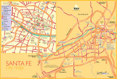
Santa Fe Tourist Map
Tourist map of Santa Fe, New Mexico. Inset shows downtown Santa Fe in detail.
3 miles away
Near Santa Fe, New Mexico

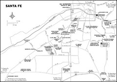
Santa Fe, New Mexico City Map
3 miles away
Near Santa Fe, new Mexico

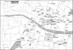
Downtown Santa Fe, New Mexico Map
3 miles away
Near Santa Fe, New Mexico

Santa Fe, New Mexico Ski Map
3 miles away
Near Santa Fe, New Mexico

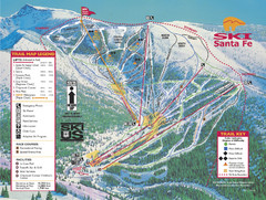
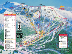
Ski Santa Fe Resort Ski Trail Map
Trail map from Ski Santa Fe Resort.
9 miles away
Near New Mexico, United States

 click for
 Fullsize

0 Comments
New comments have been temporarily disabled.