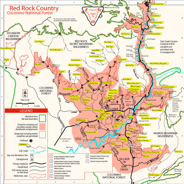
Red Rock County Trail Map
near Sedona, AZ
View Location
Trail map of trails of Red Rock County, AZ around Sedona, AZ. Shows trailheads and trail names.
See more
 See more
Nearby Maps

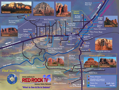
Sedona Tourist Map
Tourist map of Sedona, AZ. Shows points of interest and photos of local red rock formations and...
3 miles away
Near Sedona, Arizona

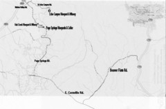
Central Arizona Wineries Map
9 miles away
Near Page Springs, Arizona

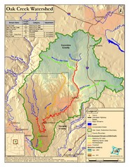
Oak Creek Watershed Map
Colorful Map of Oak Creek Watershed. Includes detailed information about the watershed, roads...
9 miles away
Near Sedona, Arizona, USA

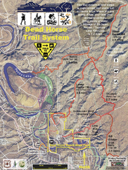
Dead Horse Trail System Map
Trail map of area surrounding Dead Horse State Park in Clarkdale, Arizona
14 miles away
Near Dead Horse Ranch State Park, Arizona

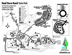
Dead Horse Ranch State Park Map
Map of park with detail of trails and recreation zones
15 miles away
Near 675 Dead Horse Ranch Road, Cottonwood, AZ

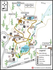
Flagstaff Arboretum Map
24 miles away
Near Flagstaff, AZ

 click for
 Fullsize

1 Comments
note from site: indicate that the Sedona Ranger Station is on Brewer Road. This has changed: Sedona Ranger Station is now Red Rock Ranger District and is now operating out of their new office just south of the Village of Oak Creek on Hwy 179.