Edit this map

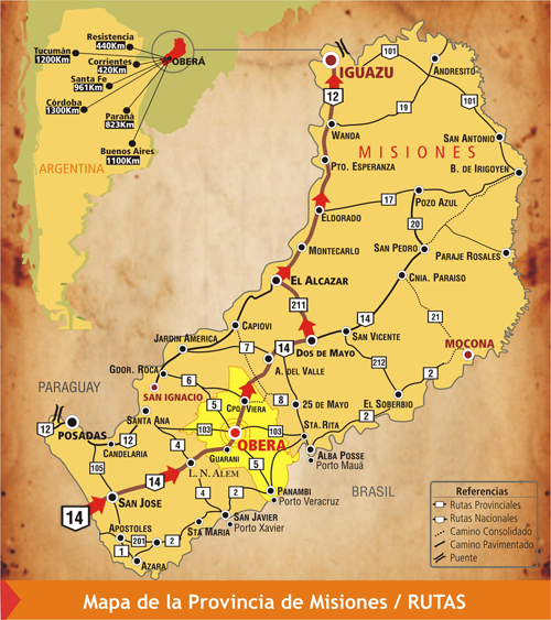
Misiones Province Map

near Misiones, Argentina

View LocationView Map

-26.8730809659384 -54.437255859375 8 satellite
Nearest Map »  Fullsize
500 × 563413 KBPNG

Map of province with detail of main cities and towns

From www.obera.gov.ar

Megan added
Sep 13, 2009

Rating
no ratings

See an error? Report it.

Keywords

reference, city, town, province

0 Comments

New comments have been temporarily disabled.
See more

Nearby Maps

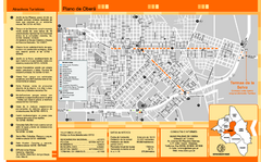
Obera Tourist Map

Obera Tourist Map

Tourist street map of city

60 miles away

Near Obera, Misiones, Argentina
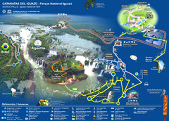
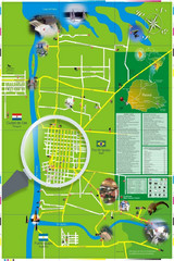
Iguasu Park Map

Iguasu Park Map

80 miles away

Near foz do iguasu
Keywords: tourism
Iguazu National Park Map

Iguazu National Park Map

Tourist map of park

85 miles away

Near Iguazu National Park, Argentina
Keywords: recreation, park
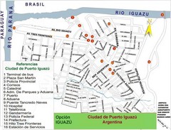
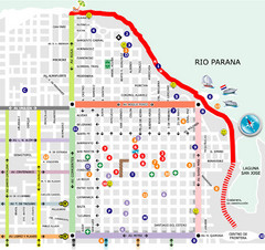
Puerto Iguazu Tourist Map

Puerto Iguazu Tourist Map

Tourist street map

89 miles away

Near Puerto Iguazu, Argentina
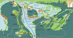
Iguacu Falls Tourist Map

Iguacu Falls Tourist Map

Tourist map of Iguacu Falls, Brazil. Shows points of interest.

91 miles away

rated 3 by 1 person
Near Foz do Iguacu, Brazil
Posadas Map

Posadas Map

Street map of city

96 miles away

Near Posadas, Argentina
See more