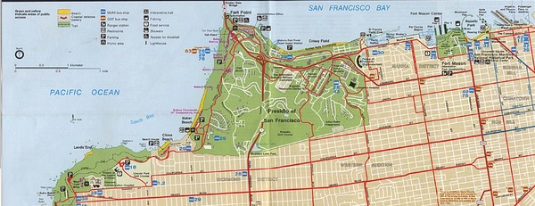
Southern Golden Gate National Recreation Map
near Golden Gate National Recreation
See more
 See more
Nearby Maps

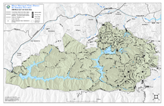
Mt. Tamalpais Watershed Trail Map
Shows roads and trails in the 18,500 Mt. Tamalpais Watershed near Fairfax, California.
2 miles away
Near Sky Oaks Rd, Fairfax, CA

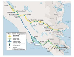
West Marin Bus Map
Bus route map of West Marin Stagecoach. Shows routes to Inverness, Point Reyes Station, Olema...
3 miles away
Near Marin, CA

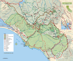
Mount Tamalpais State Park Map
Topographic trail map of Mt Tamalpais State Park in Marin County, California.
4 miles away
Near Mt Tamalpais State Park, California

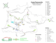
Tamarancho Map
4 miles away
Near 94930

Marin Bicycle Map - Side B
Bike route map of Marin County, California. Shows primary and secondary road routes, paved and...
4 miles away
Near Marin County, California

Mount Tamalpais State Park Map
Map of park with detail of trails and recreation zones
4 miles away
Near 801 Panoramic Highway, Mill Valley, CA

 click for
 Fullsize


0 Comments
New comments have been temporarily disabled.