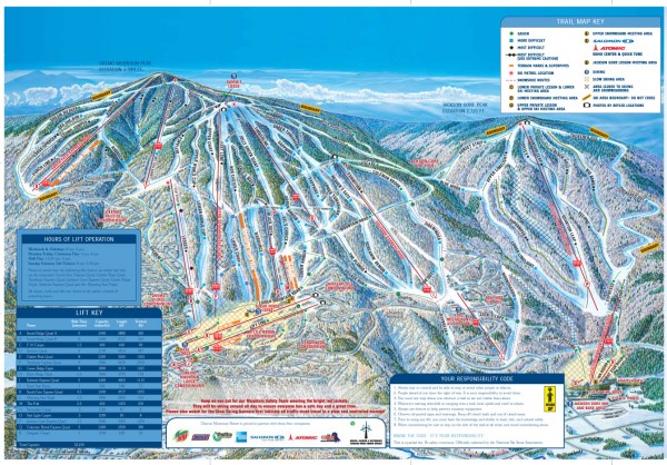
Okemo Mountain Resort ski trail map 2006-07
near 77 Okemo Ridge Road, Ludlow, VT 05149
View Location
Official ski trail map of Okemo ski area for the 2006-2007 season. Slopes & Trails 624 acres of terrain 97% covered by snowmaking (605 acres) 117 slopes, trails and glades Novice 31% Intermediate 38% Advanced/ Expert 31% Vertical Drop: 2,200 feet (most vertical in southern Vermont) Base Elevation: 1,144 feet Summit Elevation: 3,344 feet Longest trail: 4.5 miles (Mountain Road) Five Mountain Areas: Jackson Gore Peak, Solitude Peak, South Face, Glades Peak, South Ridge Lifts: 18, including 9 quad chairs (5 highspeed quads), 3 triple chairs and 6 surface lifts
Nearby Maps
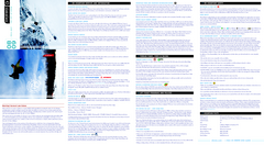
Okemo Mountain Resort Ski Trail Map
Trail map from Okemo Mountain Resort.
less than 1 mile away
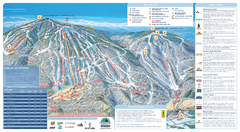
Okemo Ski Trail Map
Ski trail map of Okemo ski area. A James Niehues creation.
less than 1 mile away
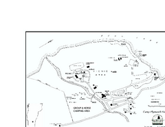
Camp Plymouth State Park map
Map of Camp Plymouth Park in Vermont.
2 miles away
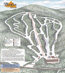
Bear Creek Mountain Club Ski Trail map
Official ski trail map of Bear Creek Mountain ski area.
9 miles away
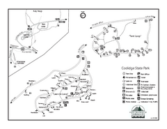
Coolidge State Park Campground Map
Campground map of Coolidge State Park in Vermont
9 miles away
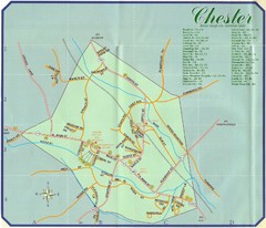
Chester Town Map
10 miles away

 click for
 Fullsize


0 Comments
New comments have been temporarily disabled.