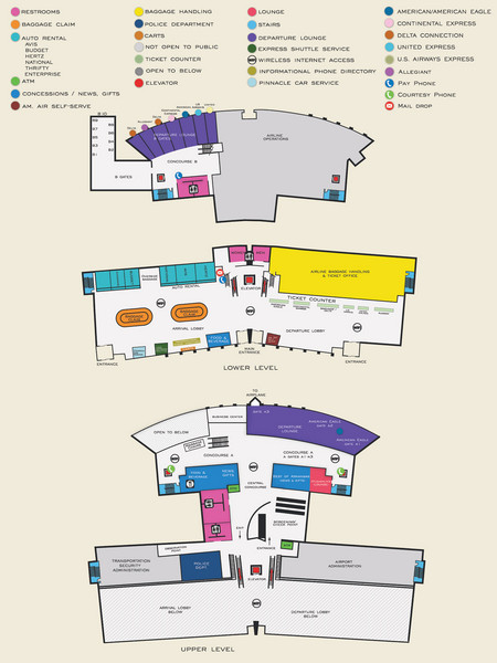
Arkansas International Airport Map
near Arkansas International Airport
See more
 See more
Nearby Maps

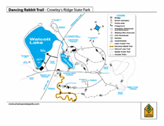
Dancing Rabbit Trail - Crowley's Ridge State...
Trail Map for Dancing Rabbit Trail in Crowley's Ridge State Park showing Walcott Lake, hiking...
43 miles away
Near Jonesboro, AR

Lake Frierson State Park Map
Map of Lake Frierson State Park showing trails, boating and fishing areas and amenities.
43 miles away
Near Jonesboro, AR

Lake Poinsett State Park Map
Map of Lake Poinsett State Park showing Great Blue Heron Trail , boat ramps and park amenities.
51 miles away
Near Harrisburg, AR

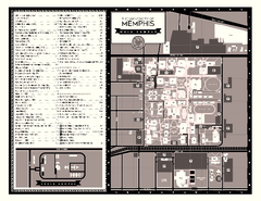
University of Memphis Map
Campus Map of the University of Memphis. All buildings shown.
57 miles away
Near Memphis, Tennessee

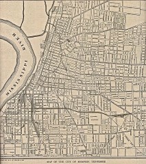
Antique map of Memphis from 1911
Antique map of Memphis, Tennessee from The New Encyclopedic Atlas and Gazetteer of the World. New...
57 miles away
Near memphis, tn

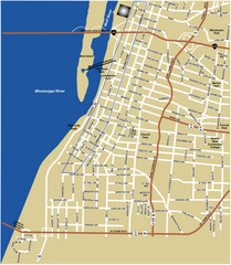
Downtown Memphis Map
57 miles away
Near Downtown Memphis, TN, USA

 click for
 Fullsize

0 Comments
New comments have been temporarily disabled.