Iowa Airports Map
near Iowa
See more
 See more
Nearby Maps

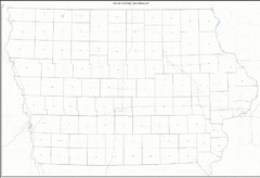
Iowa Zip Code Map
Check out this Zip code map and every other state and county zip code map zipcodeguy.com.
0 miles away
Near Iowa

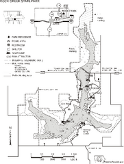
Rock Creek State Park Map
Map of trails, hunting and fishing areas in Rock Creek State Park.
15 miles away
Near kellogg, IA

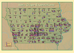
Iowa Grape Expectations Map
Shows concentration of vineyards and wineries across state of Iowa.
16 miles away
Near Iowa

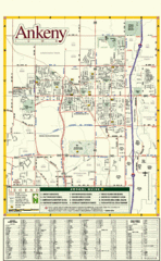
Ankeny City Map
City map of Ankeny, Iowa. Shows street index and schools.
28 miles away
Near Ankeny, Iowa

 click for
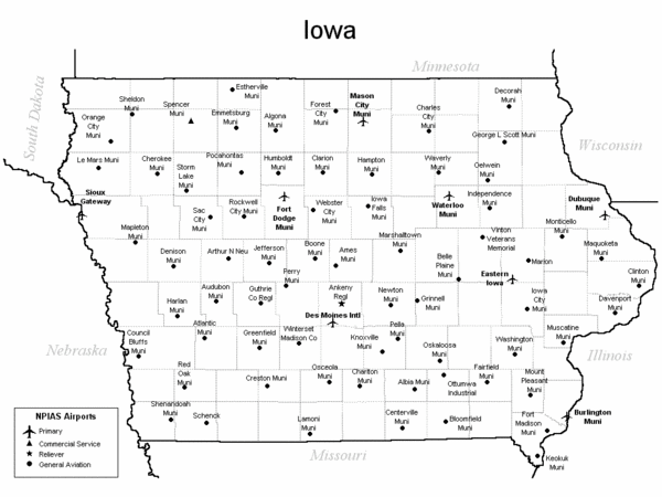
 Fullsize
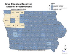
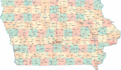

0 Comments
New comments have been temporarily disabled.