Edit this map

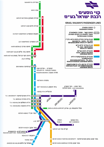
Israel Railways Map

near Israel

View LocationView Map

31.530555611605 34.9008178710938 10 satellite
Nearest Map »  Fullsize
584 × 82750 KBGIF

Map of railway lines throughout countries

From www.jr.co.il

Megan added
Aug 28, 2009

Rating
no ratings

See an error? Report it.

Keywords

transportation, city, town, subway, train, rail, transit, israel, rail, israel, rail

0 Comments

New comments have been temporarily disabled.
See more

Nearby Maps

Gaza Strip Map

Gaza Strip Map

Map of area with detail of settlements and divisions

19 miles away

Near Gaza, Israel
Beersheba City Map

Beersheba City Map

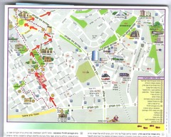
Pictorial map of Beersheba

20 miles away

Near Beersheba, Israel
Beersheba City Map

Beersheba City Map

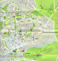
Pictorial map of Beersheba with attractions and walking trail

20 miles away

Near Beersheba, Israel
Israel Military Map

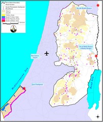
Israel Military Map

Map that describes military activities including check points, security zones, and road blocks.

22 miles away

Near Israel
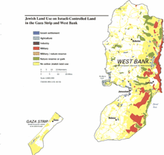
Gaza Strip and West Bank Jewish Land Use Map

Gaza Strip and West Bank Jewish Land Use Map

24 miles away

Near West Bank, Israel
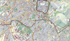
Jerusalem Map

Jerusalem Map

Map of Jerusalem, Israel. Old Jerusalem highlighted. Scanned.

25 miles away

rated 2 by 3 people
Near Jerusalem, Israel
See more