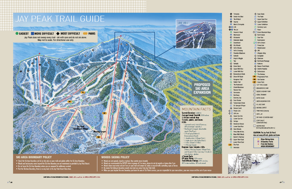
Jay Peak Ski Trail Guide Map
near 4850 VT Route 242, Jay, VT
See more
 See more
Nearby Maps

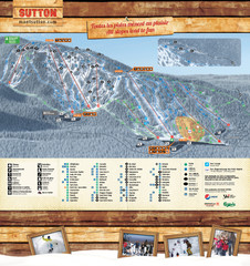
Mont Sutton Trail map
12 miles away
Near 671 chemin Maple, Sutton, QC, Canada

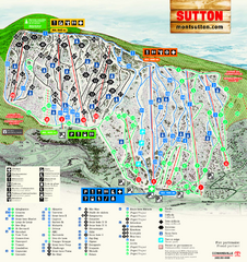
Mont Sutton Ski Trail Map
Trail map from Mont Sutton, which provides downhill skiing. This ski area has its own website.
12 miles away
Near Quebec, Canada

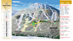
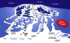
Owl’s Head Ski Trail Map
Trail map from Owl’s Head, which provides downhill skiing. This ski area has its own website.
15 miles away
Near Quebec, Canada

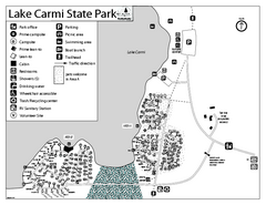
Lake Carmi State Park Campground Map
Capground of Lake Carmi State Park in Vermont
18 miles away
Near Enosburg Falls, Vermont 05450

Mont Glen Ski Trail Map
Trail map from Mont Glen, which provides downhill skiing. This ski area has its own website.
20 miles away
Near Quebec, Canada

 click for
 Fullsize


0 Comments
New comments have been temporarily disabled.