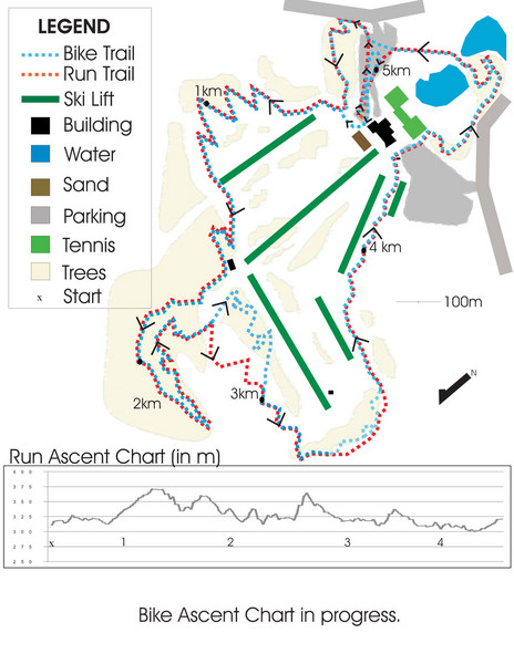
Chicopee Ski Club Summer Ski Trail Map
near Kitchener, Ontario, Canada
View Location
Trail map from Chicopee Ski Club, which provides downhill skiing. This ski area has its own website.
See more

 See more
Nearby Maps

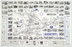
Waterloo Tourist Map
Tourist map of Waterloo, Ontario and the St. Jacobs area. Shows business logos and phone numbers.
6 miles away
Near Waterloo, ON

King's Highway Ontario Inn Map
Includes sketches of inns and guesthouses along the King's Highway in Ontario and...
12 miles away

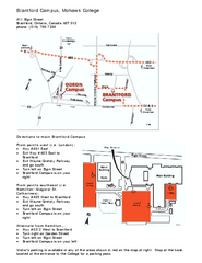
Mohawk College - Brantford Campus Map
Mohawk College - Brantford Campus Map. All areas shown.
22 miles away
Near Brantford, Ontario, Canada N3T 5V2

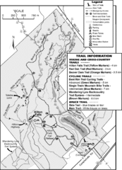
Hilton Falls Trail Map
Guide to Hilton Falls Conservation Area and Reservoir
23 miles away
Near Hilton Falls Conservation Area, Canada

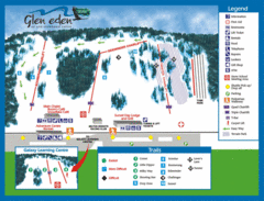
Glen Eden Ski Trail Map
Trail map from Glen Eden, which provides downhill skiing. This ski area has its own website.
24 miles away

 click for
 Fullsize

0 Comments
New comments have been temporarily disabled.