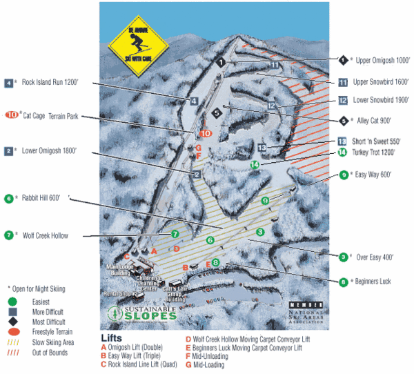
Cataloochee Ski Area Ski Trail Map
near Maggie Valley, North Carolina, United States
See more


 See more
Nearby Maps

Waynesville and Lake Junaluska Panoramic Map
Panoramic Map taking in Waynesville, Lake Junaluska and the Richland Creek watershed in Haywood...
8 miles away
Near waynesville, north carolina

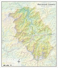
Haywood County Topographical Map
This topographic wall map of Haywood County emphasizes the rugged mountain terrain and natural...
26 miles away
Near haywood, north carolina

Asheville School Campus map
Map of the 300-acre campus of Asheville School, a private boarding school for grades 9-12 with...
26 miles away
Near 360 Asheville School Rd, Asheville, NC 28806

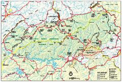
Great Smoky Mountains National Park - Park map
Official park map of Great Smoky Mountains National park. Shows location of all park roads...
26 miles away
Near Great Smoky Mountains National Park

Great Smoky Mountains National Park - Trail map
Official trail map of Great Smoky Mountains National park. Shows all trails, park roads, visitor...
26 miles away
Near Great Smoky Mountains National Park

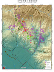
Alexander Mountain Estate Map
Vineyards in Alexander, North Carolina
27 miles away
Near alexander, north carolina

 click for
 Fullsize

0 Comments
New comments have been temporarily disabled.