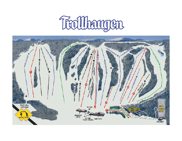
Trollhaugen Ski Area Ski Trail Map
near Dresser, Wisconsin, United States
See more
 See more
Nearby Maps

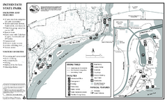
Interstate State Park Map
Map of park with detail of trails and recreation zones
4 miles away
Near Interstate State Park, MN

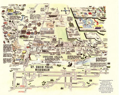
Taylors Falls Restaurant Map
4 miles away
Near Taylors Falls, Minnesota

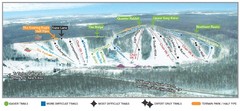
Wild Mountain Ski Area Ski Trail Map
Trail map from Wild Mountain Ski Area, which provides downhill, night, and terrain park skiing. It...
10 miles away
Near Minnesota, United States

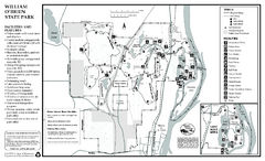
William O'Brien State Park Map
map of park with detail of trails and recreation zones
11 miles away
Near 16821 O'Brien Trail North, Marine on St...

Wild River State Park Map
map of park with detail of trails and recreation zones
18 miles away
Near 39797 Park Trail, Center City, MN

 click for
 Fullsize

0 Comments
New comments have been temporarily disabled.