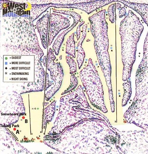
West Mountain Ski Area Ski Trail Map
near West Glens Falls, New York, United States
See more


 See more
Nearby Maps

Six Flags Great Escape Theme Park Map
Official Park map of Six Flags Great Escape Theme Park in Lake George, NY.
5 miles away
Near 1172 State Route 9, Queensbury, NY 12804

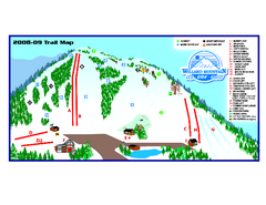
Willard Mountain Ski Area Ski Trail Map
Trail map from Willard Mountain Ski Area.
22 miles away
Near 77 Intervale Rd, Greenwich, NY

1831 Antique New York State map
The tourist's map of the state of New York : compiled from the latest authorities in the...
28 miles away
Near new york, usa

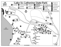
Lake St. Catherine State Park Campground Map
Campground map of St. Catherine State Park in Vermont
30 miles away
Near Poultney, Vermont 05764

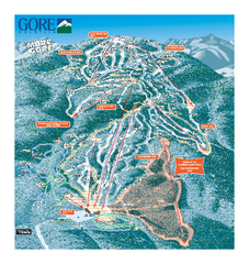
Gore Mountain Ski Trail Map
Trail map from Gore Mountain.
31 miles away
Near North Creek, New York, United States

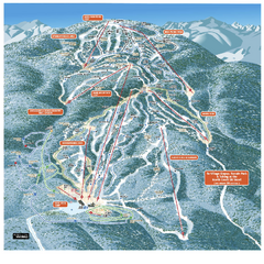
Gore Mountain Ski Trail Map
Trail map from Gore Mountain.
31 miles away
Near North Creek, New York, United States

 click for
 Fullsize

0 Comments
New comments have been temporarily disabled.