Edit this map

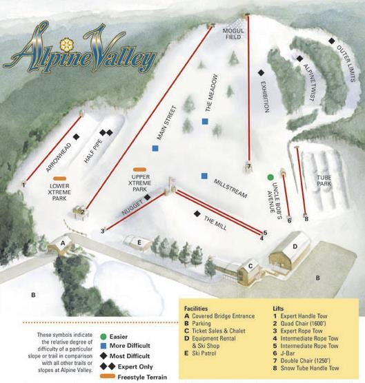
Alpine Valley Ski Area Ski Trail Map

near 10620 Mayfield Rd, Chesterland, OH‎

View LocationView Map

41.5219397 -81.3261517 15 satellite
Nearest Map »  Fullsize
529 × 55679 KBJPG

Trail map from Alpine Valley Ski Area.

Created 2007
From skimap.org

Skimap added
Aug 16, 2009

Rating
no ratings

See an error? Report it.

Keywords

recreation, skiing, ski area

0 Comments

New comments have been temporarily disabled.
See more

Nearby Maps

Scotland Tourist Map

Scotland Tourist Map

2 miles away

Near Scotland
Keywords: tourism, city, country, europe, how, do, i, ger, a, hard, copy, of...
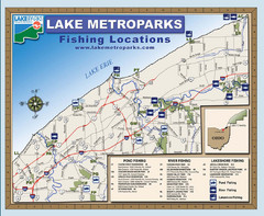
Lake Metroparks Fishing Map

Lake Metroparks Fishing Map

13 miles away

Near Near Cleveland
Keywords: recreation
Aurora City Parks Map

Aurora City Parks Map

Map of city parks in Aurora, Ohio.

15 miles away

Near Aurora, Ohio
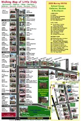
Little Italy Map

Little Italy Map

Walking tour map with labeled sites.

17 miles away

Near Little Italy, cleveland, OH

Keywords: recreation
Cleveland Rapid Transit Map

Cleveland Rapid Transit Map

19 miles away

rated 5 by 1 person
Near Cleveland, Ohio, USA
Boston Mills / Brandywine Ski Resort Boston Mills...

Boston Mills / Brandywine Ski Resort Boston Mills...

Trail map from Boston Mills / Brandywine Ski Resort.

22 miles away

Near Brecksville, Ohio, United States
See more