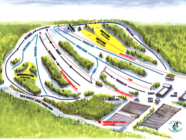
Powder Ridge Ski Area Ski Trail Map
near Kimball, Minnesota, United States
See more
 See more
Nearby Maps

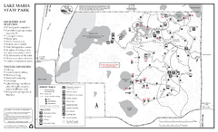
Lake Maria State Park Winter Map
Winter seasonal map of park with detail of trails and recreation zones
18 miles away
Near 11411 Clementa Ave NW, Monticello, MN

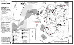
Lake Maria State Park Summer Map
Summer seasonal map of park with detail of trails and recreation zones
18 miles away
Near 11411 Clementa Ave NW, Monticello, MN

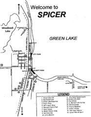
Spicer City Map
City map of Spicer, Minnesota with visitor's information
32 miles away
Near Spicer, Minnesota

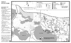
Sibley State Park Winter Map
Winter seasonal map of park with detail of trails and recreation zones
36 miles away
Near 800 Sibley Park Rd NE, New London, MN

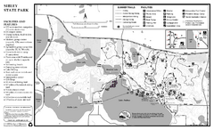
Sibley State Park Summer Map
map of park with detail of trails and recreation zones
36 miles away
Near 800 Sibley Park Rd NE, New London, MN

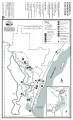
Charles A. Lindbergh State Park Map
Map of park with detail of trails and recreation zones
43 miles away
Near Charles A. Lindbergh State Park, Little Falls, MN

 click for
 Fullsize

0 Comments
New comments have been temporarily disabled.