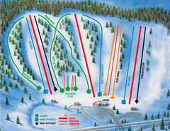
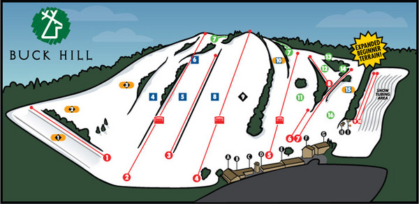
Buck Hill Ski Area Ski Trail Map
near Burnsville, Minnesota, United States
View Location
Trail map from Buck Hill Ski Area, which provides downhill, night, and terrain park skiing. It has 11 lifts servicing 16 runs. This ski area opened in 1954, and has its own website.
See more
 See more
Nearby Maps

Hyland Ski and Snowboard Area Ski Trail Map
Trail map from Hyland Ski and Snowboard Area, which provides downhill, night, and terrain park...
9 miles away
Near Bloomington, Minnesota, United States

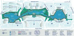
Centennial Lakes Park Map
10 miles away
Near 7499 France Ave. S., Edina, MN 55435

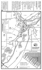
Fort Snelling State Park Summer Map
Summer map of park with detail of trails and recreation zones
11 miles away
Near 101 Snelling Lake Rd, St. Paul, MN

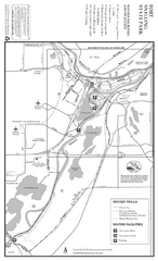
Fort Snelling State Park Winter Map
Winter map of park with detail of trails and recreation zones
11 miles away
Near 101 Snelling Lake Rd, St. Paul, MN

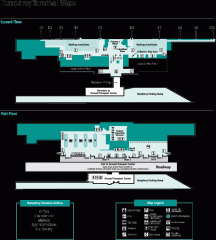
Minneapolis-St. Paul International Airport...
Official Map of Minneapolis-St. Paul International Airport. Shows Humphrey Terminal.
11 miles away
Near 7150 Humphrey Drive Minneapolis, MN 55450

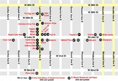
Lyn Lake-Minneapolis Restaurant Map
16 miles away
Near Lyn Lake MInneapolis, MN

 click for
 Fullsize

0 Comments
New comments have been temporarily disabled.