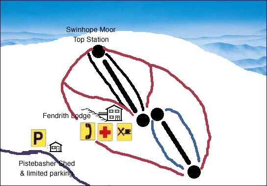
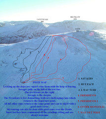
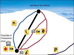
Swinhope Moor Sketch Ski Trail Map
near Stanhope, UK
See more
 See more
Nearby Maps

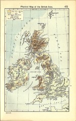
1911 British Isles Physical Map
Guide to physical features of the United Kingdom, then known as the British Isles
8 miles away
Near United Kingdom

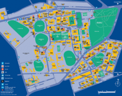
Camperdown Tourist Map
Guide map for Camperdown and Darlington, United Kingdom
27 miles away
Near Camperdown, United Kingdom

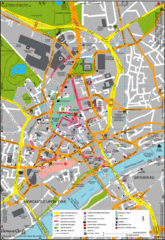
Newcastle Upon Tyne City Map
City map of Newcastle Upon Tyne with tourist information and some of Gateshead
29 miles away
Near Newcastle Upon Tyne, United Kingdom

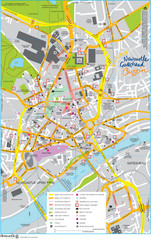
Newcastle Tourist Map
Tourist map of central Newcastle Upon Tyne, UK. Shows points of interest.
29 miles away
Near Newcastle, UK

 click for
 Fullsize

0 Comments
New comments have been temporarily disabled.