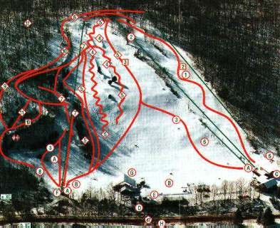
Woodbury Ski Area Ski Trail Map
near Woodbury, Connecticut, United States
View Location
Trail map from Woodbury Ski Area, which provides downhill, night, nordic, and terrain park skiing. It has 4 lifts servicing 12 runs; the longest run is 804.6719742505'. This ski area has its own website.
See more

 See more
Nearby Maps

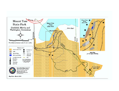
Mount Tom State Park trail map
Trail map of Mt. Tom State Park in Connecticut.
7 miles away
Near morris, ct

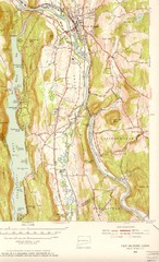
New Milford, Connecticut Map
New Milford, Connecticut topo map with roads, streets and buildings identified
8 miles away
Near New Milford, Connecticut

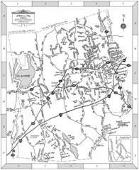
Middlebury, Connecticut Map
8 miles away
Near MIddlebury, CT

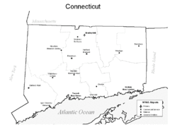
Conneticut Airports Map
9 miles away
Near Conneticut

Connecticut Zip Code Map
Check out this Zip code map and every other state and county zip code map zipcodeguy.com.
9 miles away
Near Connecticut

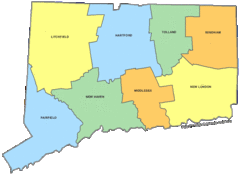
Connecticut Counties Map
9 miles away
Near Connecticut

 click for
 Fullsize

0 Comments
New comments have been temporarily disabled.