Edit this map

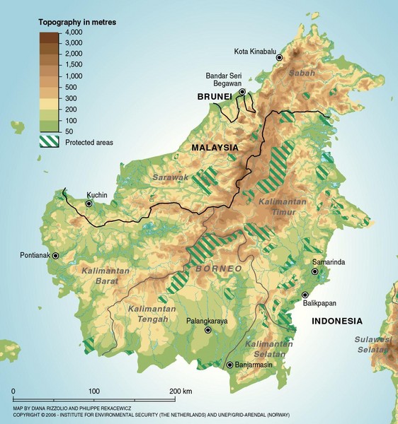
Borneo Protected Areas Map

near Borneo, Indonesia

View LocationView Map

0.109832 113.9174 5 satellite
Nearest Map »  Fullsize
1102 × 1177183 KBJPG

Physical map of island of Borneo, Indonesia showing protected areas. Shows topography in meters.

Created 3/2006 by Diana Rizzolio and Philippe Rekacewicz
From grid.unep.ch

scott added
Apr 23, 2008

Rating
rated 3.5 by 2 people

See an error? Report it.

Keywords

reference, environment, indonesia, malaysia, brunei, equator

0 Comments

New comments have been temporarily disabled.
See more

Nearby Maps

Indonesia Overview map

Indonesia Overview map

Shows regions of Indonesia and inset map shows Indonesia in context of rest of world.

62 miles away

rated 3.5 by 4 people
Near Indonesia
Indonesia Island Map

Indonesia Island Map

62 miles away

Near Indonesia
Keywords: tourism, pantar
Kuching Map

Kuching Map

Tourist map of city

86 miles away

rated 2 by 1 person
Near Kuching, Borneo, Malaysia
Keywords: tourism
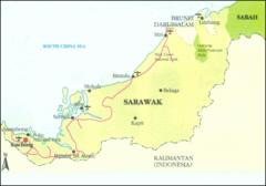
Sarawak Map

Sarawak Map

Map of Sarawak, a state on the island of Borneo.

171 miles away

Near Sarawak
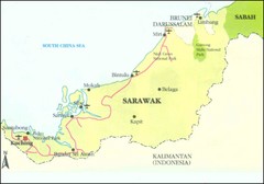
Sarawak Malaysia Map

Sarawak Malaysia Map

181 miles away

Near Sarawak Malaysia
Keywords: reference
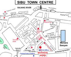
Sibu Tourist Map

Sibu Tourist Map

209 miles away

Near Sibu
See more