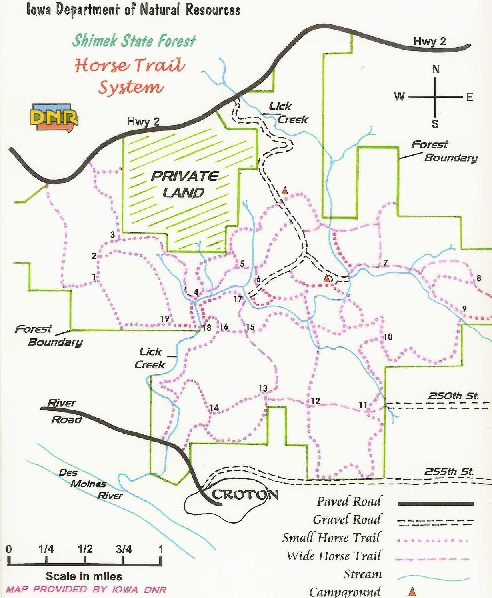
Shimek State Forest Horse Trail Map
near Croton, IA
See more
 See more
Nearby Maps

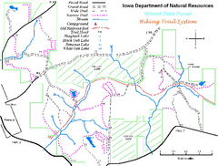
Shimek State Forest Hiking Trail Map
Map of hiking trails in Shimek State Forest.
2 miles away
Near Croton, IA

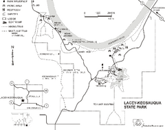
Lacey-Keosauqua State Park Map
Map of trails, indian mounds, lake depths and park facilities for Lacey-Keosauqua State Park.
15 miles away
Near Keosauqua, IA

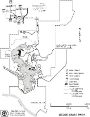
Geode State Park Map
Map of trails, lake depths and park facilities for Geode State Park.
21 miles away
Near danville, IA

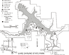
Lake Darling State Park Map
Map of hiking, biking and skiing trails, lake depths and park facilities for Lake Darling State...
40 miles away
Near brighton, IA

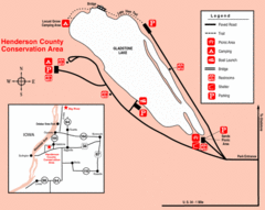
Henderson County Wildlife Area, Illinois Site Map
42 miles away
Near Henderson County, Illinois

Lake Wapello State Park Map
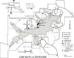
Map of trails, lake depths and fishing spots at Lake Wapello State Park.
48 miles away
Near drakesville, IA

 click for
 Fullsize

0 Comments
New comments have been temporarily disabled.