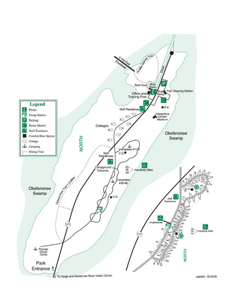
Stephen C. Foster State Park Map
near Stephen C. Foster State Park, GA
See more
 See more
Nearby Maps

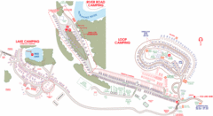
Suwanee Park Camping Map
11 miles away
Near 3076 95th Dr Live Oak, Florida

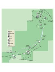
Ichetucknee Springs State Park Map
Map of park with detail of trails and recreation zones
25 miles away
Near Ichetucknee Springs State Park, Florida

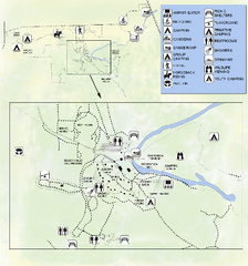
OLeno State Park Map
Map of park with detail of trails and recreation zones
31 miles away
Near 410 S.E. Oleno Park Road, High Springs, Florida

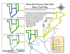
River Rise Preserve State Park Horse Trail Map
Map of horse trails throughout preserve
31 miles away
Near 410 SE Oleno Park Road, High Springs, Florida

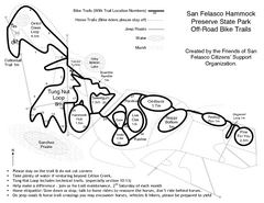
San Felasco Hammock Preserve State Park Bike...
Map of bike trails throughout preserve
45 miles away
Near 12720 NW 109 Lane, Alachua, Florida

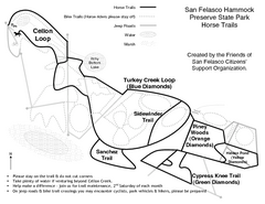
San Felasco Hammock Preserve State Park Horse...
Map of horse trails throughout preserve
45 miles away
Near 12720 NW 109 Lane, Alachua, Florida

 click for
 Fullsize

0 Comments
New comments have been temporarily disabled.