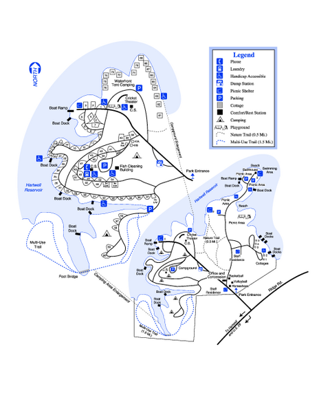
Hart State Park Map
near 330 Hart Park Rd, Hartwell, GA
See more
 See more
Nearby Maps

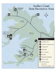
Sadlers Creek State Park Map
This simple map gives you an easy to follow layout of this amazing state park.
6 miles away
Near Sadler's Creek, SC, USA

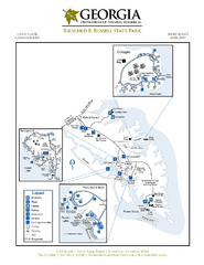
Richard B. Russell State Park Map
Map of park with detail of trails and recreation zones
17 miles away
Near 2650 Russell State Park Rd, Elberton, GA

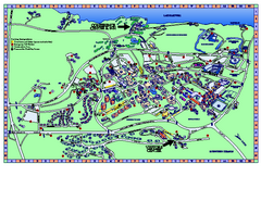
Clemson University Map
21 miles away
Near Clemson University

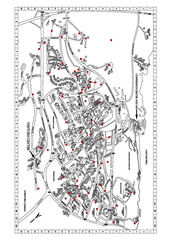
Clemson University Map
Clemson University Campus Map. All buildings shown.
21 miles away
Near Clemson, South Carolina

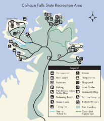
Calhoun Falls State Park Map
Clear map and detailed legend help make this map easy to read and follow.
27 miles away
Near Calhoun Falls State Park, South Carolina

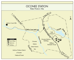
Oconee Station Map
Clear and simple map of Oconee State Park's station.
33 miles away
Near Oconee Station, SC, USA

 click for
 Fullsize

0 Comments
New comments have been temporarily disabled.