Edit this map

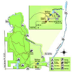
Wekiwa Springs State Park Trail Map

near 1800 Wekiwa Circle, Apopka, Florida

View LocationView Map

28.7368072410044 -81.4794158935547 13 satellite
Nearest Map »  Fullsize
626 KBPDF

Trail map of park

Created by Florida State Parks
From Florida State Parks

Megan added
Jul 28, 2009

Rating
no ratings

See an error? Report it.

Keywords

recreation, park, state park, trails, hiking

0 Comments

New comments have been temporarily disabled.
See more

Nearby Maps

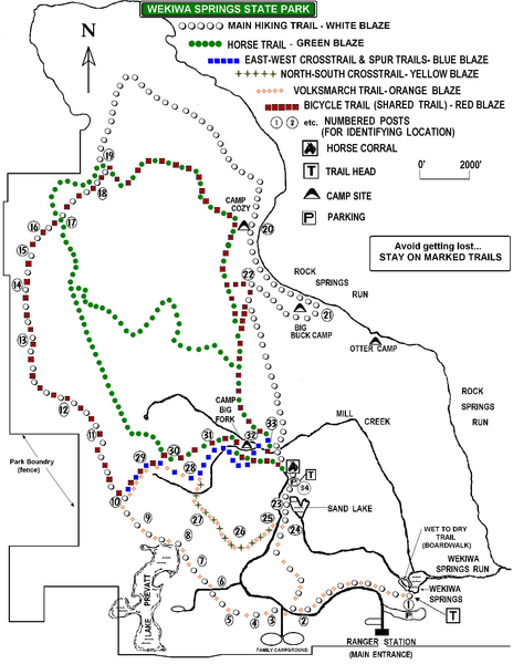
Wekiwa Springs State Park Map

Wekiwa Springs State Park Map

Map of park with detail of trails and recreation zones

less than 1 mile away

Near 1800 Wekiwa Circle, Apopka, Florida
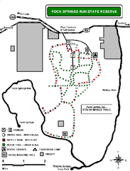
Rock Springs Run State Reserve Trail Map

Rock Springs Run State Reserve Trail Map

Map of various trails throughout reserve

5 miles away

Near 1800 Wekiwa Circle, Apopka, Florida
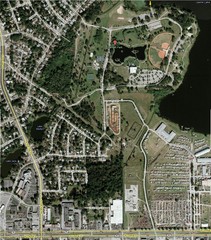
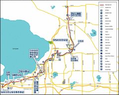
West Orange Trail Map

West Orange Trail Map

Trail map from Oakland to Apopka

11 miles away

Near West Orange Trail, FL
Keywords: recreation
Lake Lawne Satellite Map

Lake Lawne Satellite Map

12 miles away

Near Lake Lawne

Keywords: tourism
Rollins College Map

Rollins College Map

13 miles away

Keywords: school
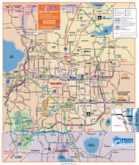
Orlando Highway Map

Orlando Highway Map

Highways in Orlando County

13 miles away

Near orlando
See more