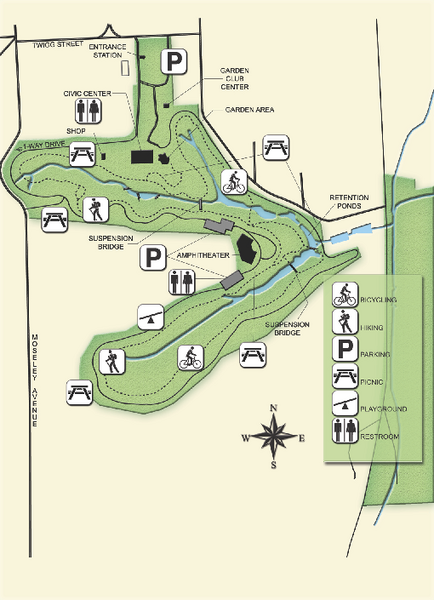
Ravine Gardens State Park Map
near 1600 Twigg Street, Palatka, Florida
See more
 See more
Nearby Maps

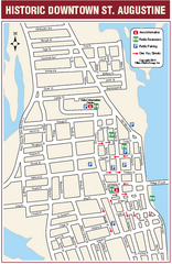
Downtown St. Augustine, Florida Map
Tourist map of historic downtown St. Augustine, Florida. Shows visitor information, restrooms, and...
27 miles away
Near St. Augustine, FL

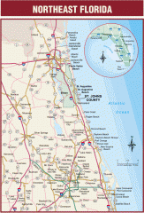
Northeast Florida Road map
A complete road map of the Northeast section of the state of Florida.
30 miles away
Near Bunnell, Florida

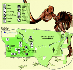
Silver River State Park Map
Map of park with detail of trails and recreation zones
37 miles away
Near 1425 NE 58th Avenue, Ocala, Florida

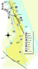
Tomoka State Park Map
Map of park with detail of recreation zones
40 miles away
Near 2099 North Beach Street, Ormond Beach, Florida

Paynes Prairie State Preserve Map
Map of preserve with detail of trails and recreation zones
40 miles away
Near 100 Savannah Blvd., Micanopy, Florida

Ben Hill Griffin Stadium Map
Clear map and legend of this stadium.
42 miles away
Near Ben Hill Griffin Stadium.

 click for
 Fullsize

0 Comments
New comments have been temporarily disabled.