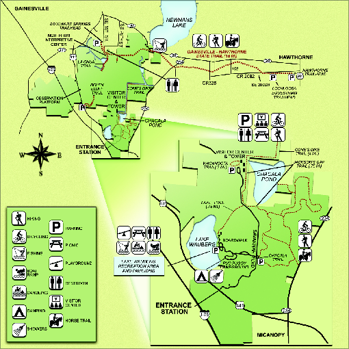
Paynes Prairie State Preserve Map
near 100 Savannah Blvd., Micanopy, Florida
See more
 See more
Nearby Maps

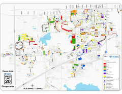
University of Florida Map
5 miles away
Near University of Florida

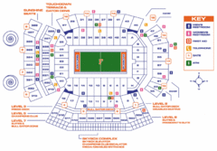
Ben Hill Griffin Stadium Map
Clear map and legend of this stadium.
5 miles away
Near Ben Hill Griffin Stadium.

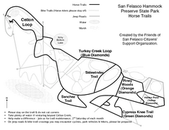
San Felasco Hammock Preserve State Park Horse...
Map of horse trails throughout preserve
14 miles away
Near 12720 NW 109 Lane, Alachua, Florida

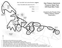
San Felasco Hammock Preserve State Park Bike...
Map of bike trails throughout preserve
14 miles away
Near 12720 NW 109 Lane, Alachua, Florida

Dudley Farm Historic State Park Map
Map of park with detail of historical monuments
15 miles away
Near 18730 W. Newberry Rd., Newberry, Florida

OLeno State Park Map
Map of park with detail of trails and recreation zones
28 miles away
Near 410 S.E. Oleno Park Road, High Springs, Florida

 click for
 Fullsize

0 Comments
New comments have been temporarily disabled.