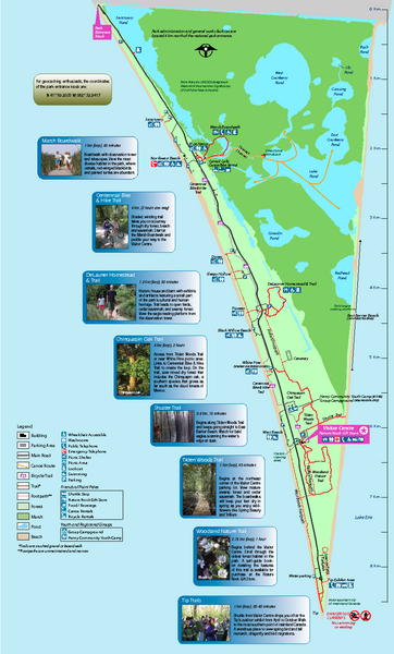
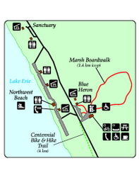
Point Pelee National Park Map
near Point Pelee National Park, Canada
See more
 See more
Nearby Maps

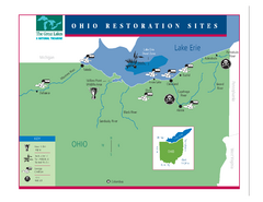
Lake Erie Restoration Sites Map
Shows restoration sites for Lake Erie in Ohio
29 miles away
Near Ohio

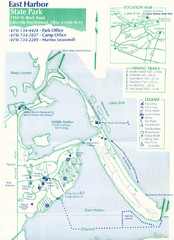
East Harbor State Park Map
31 miles away
Near East Harbor State Park

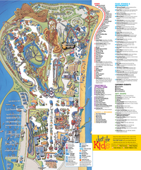
Cedar Point Amusement park Map
32 miles away
Near cedar point sandusky, oh

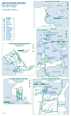
Lake Erie Islands State Park map
Detailed recreation map for the Lake Erie Islands State Parks in Ohio
33 miles away
Near Port Clinton, OH 43452

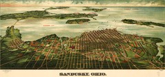
Birdseye Map of Sandusky, Ohio (1898)
Alvord-Peters birdseye map of Sandusky in 1898.
35 miles away
Near sandusky

 click for
 Fullsize

0 Comments
New comments have been temporarily disabled.