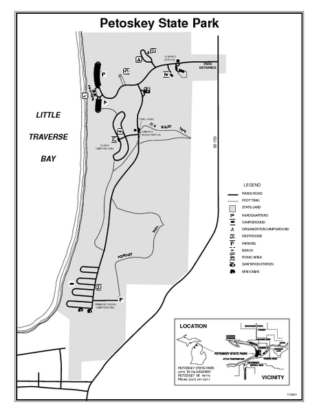
Petoskey State Park, Michigan Site Map
near Petoskey State Park, MI
See more
 See more
Nearby Maps

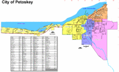
Petoskey Street Map
Street map of Petoskey, Michigan. Official city map.
4 miles away
Near Petoskey, Michigan

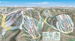
Nubs Nob Ski Area Main Ski Trail Map
Trail map from Nubs Nob Ski Area.
4 miles away
Near Harbor Springs, Michigan, United States

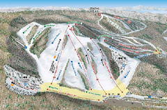
Nubs Nob Ski Area Inset Ski Trail Map
Trail map from Nubs Nob Ski Area.
4 miles away
Near Harbor Springs, Michigan, United States

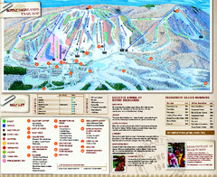
Boyne Highlands Ski Trail Map
Official ski trail map of Boyne Highlands ski area from the 2006-2007 season.
5 miles away
Near 600 Highland Drive, Harbor Springs, MI 49740

Young State Park, Michigan Site Map
14 miles away
Near Young State Park, MI

Burt Lake State Park, Michigan Site Map
14 miles away
Near Burt Lake State Park, Michigan

 click for
 Fullsize

0 Comments
New comments have been temporarily disabled.