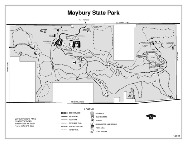
Maybury State Park, Michigan Site Map
near Maybury State Park, MI
See more
 See more
Nearby Maps

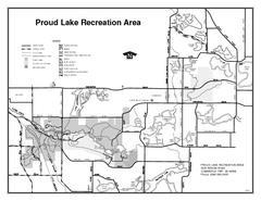
Proud Lake Recreation Area, Michigan Site Map
10 miles away
Near Proud Lake recreation Area, MI

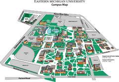
Eastern Michigan University Map
Map of EMU campus
13 miles away
Near Eastern Michigan University, Ann Arbor, MI

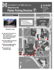
University of Michigan Palmer Parking Map
Map of Visitor Parking Areas with specific directions. Includes location of all surrounding...
13 miles away
Near Ann Arbor, Michigan, USA

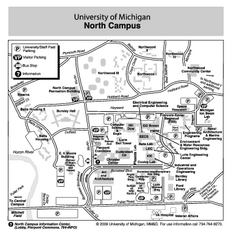
University of Michigan - North Campus Map
13 miles away
Near University of Michigan - North Campus

University of Michigan Campus Map
Map of the University of Michigan campus. Includes all buildings, streets and surrounding...
14 miles away
Near Ann Arbor, Michigan, USA

 click for
 Fullsize

0 Comments
New comments have been temporarily disabled.