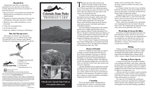
Trinidad State Park Map
near 32610 Highway 12, Trinidad, CO
See more
 See more
Nearby Maps

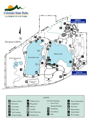
Lathrop State Park Map
Map of park with detail of recreation zones
36 miles away
Near 70 County Road 502, Walsenburg, CO

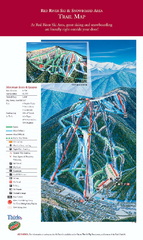
Red River Ski Area Ski Trail Map
Trail map from Red River Ski Area.
55 miles away
Near Red River, New Mexico, United States

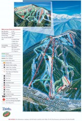
Red River Ski Trail Map
Official ski trail map of Red River ski area
55 miles away
Near Red River, NM

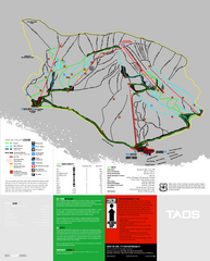
Taos Ski Valley Ski Trail Map
Trail map from Taos Ski Valley.
62 miles away
Near Taos Ski Valley, New Mexico, United States

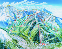
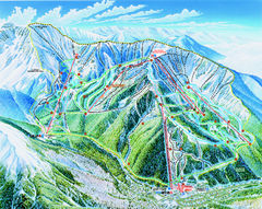
Taos Ski Valley Trail map
Official ski map of Taos Ski Valley. 12 lifts servicing 1,294 acres.
62 miles away
Near Arroyo Seco, New Mexico

Taos Ski Area Ski Trail map 2006-07
Ski trail map of Taos ski area for the 2006-2007 season. A James Niehues creation.
62 miles away
Near Taos Ski Valley, New Mexico 87525

 click for
 Fullsize

0 Comments
New comments have been temporarily disabled.