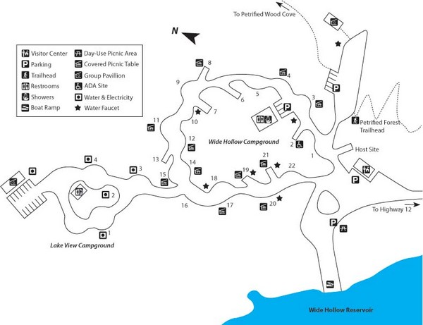
Escalante Petrified Forest State Park Map
near Escalante, UT, USA
View Location
Escalante Petrified Forest State Park is located in beautiful southern Utah, just 44 miles east of Bryce Canyon National Park. Hike along park nature trails through a petrified forest, camp along the shores of Wide Hollow Reservoir, or rent a canoe and paddle on its clear waters. View fossils, petrified wood, fossilized dinosaur bones, and artifacts left by ancient Fremont Indians who inhabited this area nearly 1,000 years ago.
Nearby Maps

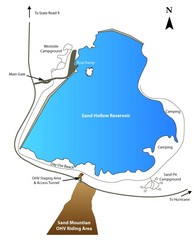
Sand Hollow State Park Map
With its warm, blue waters and red sandstone landscape, Utah's newest state park is also one...
less than 1 mile away

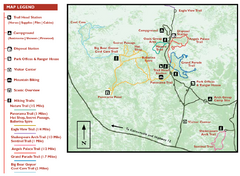
Kodachrome Basin State Park Map
Trail map of Kodachrome Basin State Park, Utah. Shows hiking trails and park facilities.
27 miles away

Brycec Canyon National Park Map
31 miles away

Bryce Canyon Official Park Map
Official NPS map of Bryce Canyon National Park in Utah. Map shows all areas. The park is open 24...
31 miles away

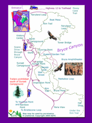
Bryce Canyon National Park Map
32 miles away

Bryce Canyon National Park Trails Map
32 miles away

 click for
 Fullsize

0 Comments
New comments have been temporarily disabled.