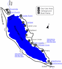
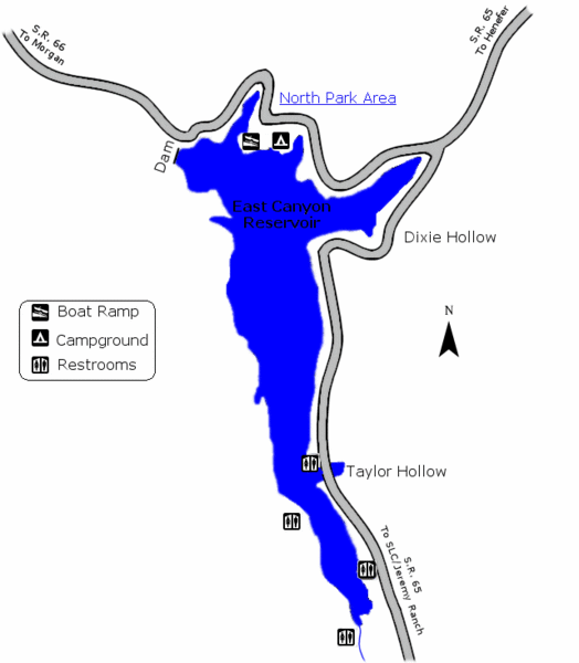
East Canyon State Park Map
near East Canyon State Park, UT,USA
View Location
East Canyon State Park is a 680-acre boating and year-round fishing delight nestled in the mountains northeast of Salt Lake City. Although popular with water recreationists, East Canyon is also an attraction for history buffs. Nearby trails mark the steps of the Donner Party and the first Mormon settlers.
See more
 See more
Nearby Maps

Rockport State Park Map
Find first-rate, year-round recreation at this northern Utah destination. During summer, fish, boat...
14 miles away
Near Rockport State Park, UT, USA

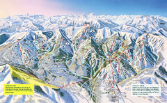
The Canyons Ski Trail Map
Trail map from The Canyons.
16 miles away
Near Park City, Utah, United States

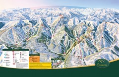
The Canyons Ski Trail Map
Official ski trail map of The Canyons ski area from the 2007-2008 season.
16 miles away
Near 4000 The Canyons Resort Dr, Park City, Utah 84098

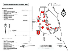
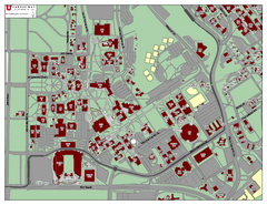
University of Utah Map
University of Utah Campus Map. All buildings shown.
16 miles away
Near Salt Lake City, Utah

University of Utah Map
16 miles away
Near University of Utah

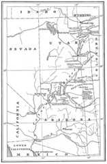
1914 Grand Canyon & Colorado River Map
Historic map of the Colorado River, from Wyoming to Mexico
16 miles away
Near Grand Canyon National Park, AZ, US

 click for
 Fullsize

0 Comments
New comments have been temporarily disabled.