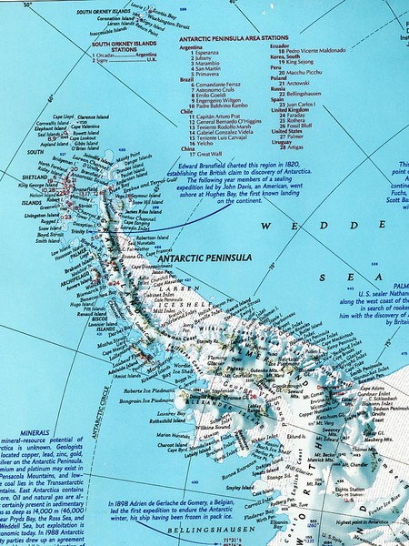
Antarctic Peninsula Map
near Antarctica
See more
 See more
Nearby Maps

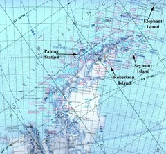
Antarctic Peninsula Map
Physical map of Antarctic Peninsula
151 miles away
Near Estancia Ferko, Paraguay

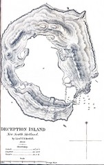
Deception Island Map
453 miles away
Near Deception Island

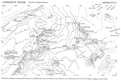
Livingston Island Map
477 miles away
Near -62.6, -60.5

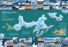
Livingston Island Ice Cover Map
L.L. Ivanov et al, Antarctica: Livingston Island, South Shetland Islands (from English Strait to...
479 miles away
Near Livingston Island, South Shetland Islands...

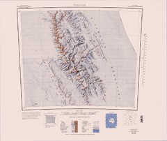
Vinson Massif Topo Map
Topo map of Vinson Massif, the highest mountain in Antarctica at 16067 ft / 4897 m. One of the...
733 miles away
Near Vinson Massif, Antarctica

 click for
 Fullsize


0 Comments
New comments have been temporarily disabled.