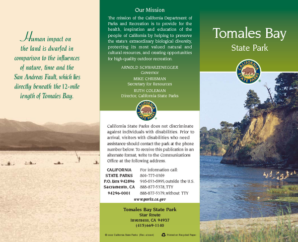
Tomales Bay State Park Map
near Tomales Bay State Park, Inverness, CA
See more
 See more
Nearby Maps

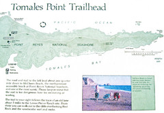
Tomales Point Trail Map
Map of the trail to Tomales Point in Point Reyes National Seashore, California. Also shows trail...
3 miles away
Near Point Reyes National Seashore, California

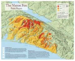
Point Reyes Vision Fire Map
Map of the burn intensity of the 1995 Vision Fire in Point Reyes National Seashore.
8 miles away
Near Point Reyes, CA

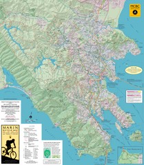
Marin, California Bike Map
10 miles away
Near Marin, CA

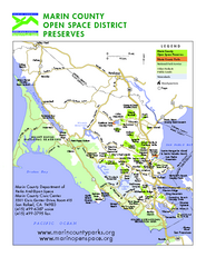
Marin Open Space Preserves Map
Shows all Open Space Preserves in Marin County, CA.
10 miles away
Near Marin County, CA

Point Reyes National Seashore Map
Official NPS map of Point Reyes National Seashore in Marin County, California. Shows trails, roads...
11 miles away
Near Point Reyes National Seashore, California

Bodega Bay Park Map
Park map of the Sonoma Coast State Beach park lands in Bodega Bay, California. Shows roads, trails...
13 miles away
Near Bodega Bay, California

 click for
 Fullsize

0 Comments
New comments have been temporarily disabled.