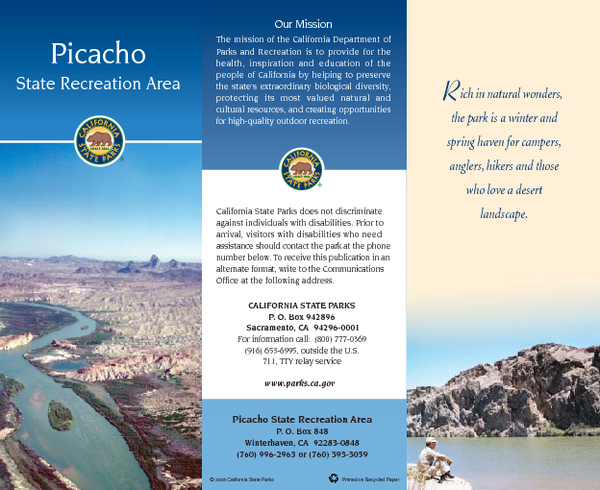
Picacho State Recreation Area Map
near Picacho State Recreation Area, CA
See more
 See more
Nearby Maps

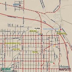
Yuma, Arizona Tourist Map
22 miles away
Near Yuma, AZ

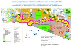
Migrant Deaths along US Border - California and...
Map shows locations of migrant deaths from 2000-2004 along the US-Mexican border in California and...
89 miles away
Near Yuma, Arizona

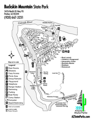
Buckskin Mountain State Park Map
Map of park with detail of trails and recreation zones
89 miles away
Near Buckskin Mountain State Park, Parker, AZ

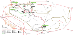
Joshua Tree National Park Official Park Map
Official NPS map of Joshua Tree National Park in California. Map shows all areas. The park is...
92 miles away
Near Joshua Tree National Park

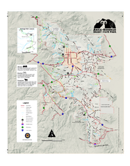
Anza-Borrego Desert State Park Map
Map of park with detail of trails and recreation zones
95 miles away
Near Anza-Borrego Desert State Park, CA

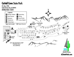
Cattail Cove State Park Map
Map of park with detail of trails and recreation zones
95 miles away
Near Cattail Cove State Park, Lake Havasu City, AZ

 click for
 Fullsize

0 Comments
New comments have been temporarily disabled.