Smith River State Park Map
near Smith River State Park, MT, USA
View Location
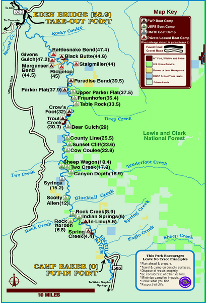
The Smith River is a unique 59-mile river corridor. Permits are required to float the stretch of Smith River between Camp Baker and Eden Bridge. Noted for its spectacular scenery and blue-ribbon trout fishery, the Smith River is unique in that it has only one public put-in and one public take-out for the entire 59-mile segment of river. Boat camps located along the remote river canyon help preserve the unique quality of this area.
See more
 See more
Nearby Maps

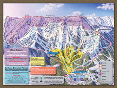
Bridger Bowl Ski Area Ski Trail Map
Trail map from Bridger Bowl Ski Area.
31 miles away
Near Montana, United States

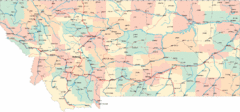
Montana Road Map
40 miles away
Near Montana, USA

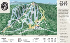
Showdown Ski Trail Map
Official ski trail map of Showdown ski area
46 miles away
Near White Sulphur Springs, Montana

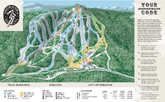
Showdown Ski Area Ski Trail Map
Trail map from Showdown Ski Area.
46 miles away
Near Montana, United States

Greycliff Prairie Dog Town State Park Map
Grab your camera and hop off Interstate 90 at Greycliff to delight in the playful, curious black...
46 miles away
Near Greycliff State Park, MT, USA

Montana Airports Map
49 miles away
Near Montana

 click for
 Fullsize

0 Comments
New comments have been temporarily disabled.