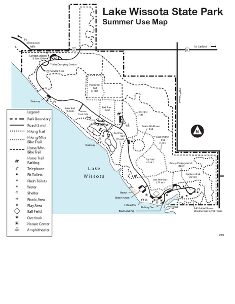
Lake Wissota State Park Map
near Lake Wissota State Park, WI, USA
See more
 See more
Nearby Maps

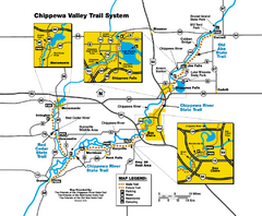
Chippewa Valley Trail System Map
Multiple trails and hiking routes in the Chippewa Valley.
4 miles away
Near Chippewa Valley, WI, USA

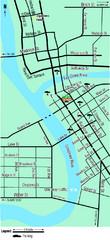
Downtown Eau Claire Eateries Map
Make sure you set aside the whole day and visit the numerous shops in Eau Claire's Downtown...
15 miles away
Near Eau Claire, WI, USA

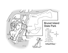
Brunet Island State Park Map
Easy to read legend.
15 miles away
Near Brunet Island State Park, WI, USA

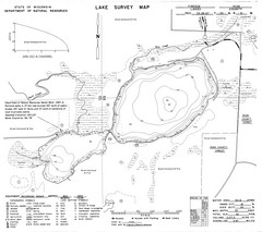
Fireside Lake Survey Map
Survey of Lake and surrounding areas done by State of Wisconsin Department of Natural Resources
23 miles away
Near fireside lake, wisconsin

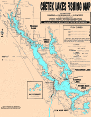
Chetek Lakes Fishing Map
Fishing map of the Chetek Lakes region
32 miles away
Near Chetek, Wisconsin

 click for
 Fullsize

0 Comments
New comments have been temporarily disabled.