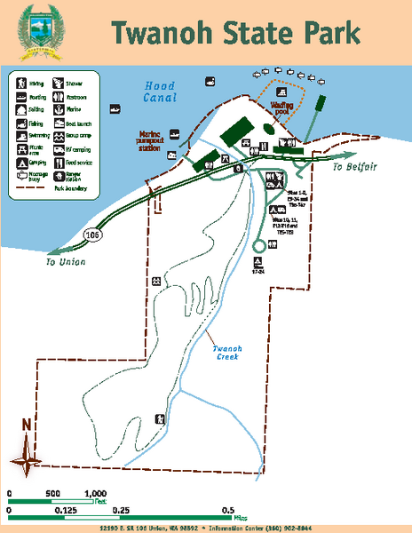
Twanoh State Park Map
near Twanoh State Park, WA
See more
 See more
Nearby Maps

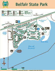
Belfair State Park Map
Map of park, with detail of trails and recreation zones
6 miles away
Near Belfair State Park, Belfair, Washington 98528

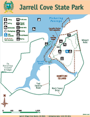
Jarrell Cove State Park Map
Map of park with detail of trails and recreation zones
8 miles away
Near East 391 Wingert Rd, Shelton, WA 98584

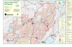
Tahuya State Forest Trail Map
Shows trails of Tahuya State Forest. Show roads, doubletrack, singletrack, and 4WD only.
8 miles away
Near Belfair, Washington

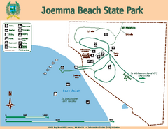
Joemma Beach State Park Map
Map of park with detail of trails and recreation zones
13 miles away
Near Joemma Beach State Park, WA

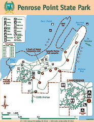
Penrose Point State Park Map
Map of park with detail of trails and recreation zones
13 miles away
Near Penrose Point State Park, Lakebay, WA

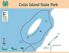
Cutts Island Stay Park Map
Map of park with detail of trails and recreation zones
14 miles away
Near Cutts Island, WA

 click for
 Fullsize

0 Comments
New comments have been temporarily disabled.