Squak Mountain State Park Map
near 21430 SE May Valley Rd, Issaquah, WA
See more
 See more
Nearby Maps

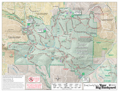
Cougar Mountain Park Trail Map
Trail map of Cougar Mountain Regional Wildland Park, part of the "Issaquah Alps"
3 miles away
Near Cougar Mountain Regional Wildland Park, WA

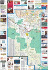
Issaquah tourist map
Issaquah, Washington tourist map. Shows all businesses.
3 miles away
Near issaquah, washington

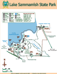
Lake Sammamish State Park Map
Map of island with detail of trails and recreation zones
4 miles away
Near 2000 N.W. Sammamish Rd, Issaquah, WA

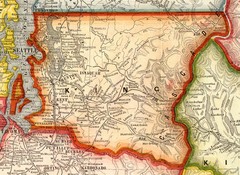
King County Washington, 1909 Map
5 miles away
Near Tacoma Wa

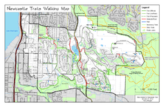
Newcastle Trails Trail Map
Trail map of existing and proposed trails in Newcastle, WA
6 miles away
Near Newcastle, WA

Sammamish tourist map
Sammamish, Washington tourist map. Shows all businesses.
6 miles away
Near sammamish, washington

 click for
 Fullsize

0 Comments
New comments have been temporarily disabled.