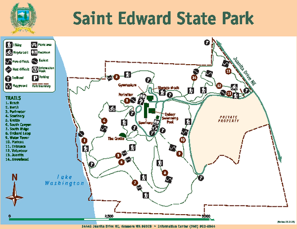
Saint Edward State Park Map
near 14445 Juanita Dr NE, Kenmore, WA
See more
 See more
Nearby Maps

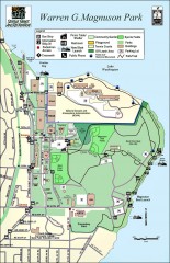
Warren G. Magnuson Park Map
Map of Warren G. Magnuson Park Warren G. Magnuson Park sits on a splendid mile-long stretch of...
4 miles away
Near Seattle, Washington

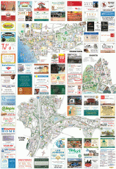
Kirkland tourist map
Kirkland, Washington tourist map. Shows all businesses.
4 miles away
Near kirkland, washington

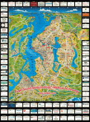
Puget Sound biotech map
Map of Puget Sound area biotechnology companies.
5 miles away
Near puget sound, washington

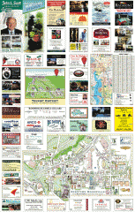
Woodinville tourist map
Tourist map of Woodinville, Washington. Shows all businesses.
6 miles away
Near woodinville, washington

Woodinville Wine Country Map
Map of wineries in the Woodinville, WA area
6 miles away
Near Woodinville, WA

Carkeek Park Trail Map
Trail map of Carkeek Park on the Puget Sound, Seattle, WA. Shows maintained and unmaintained trails.
6 miles away
Near Carkeek Park, Seattle, WA

 click for
 Fullsize

0 Comments
New comments have been temporarily disabled.