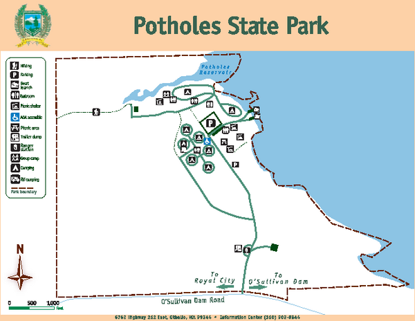
Potholes State Park Map
near 6762 Highway 262 East, Othello, WA
See more
 See more
Nearby Maps

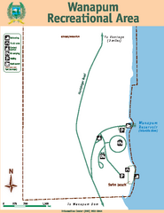
Wanapum Recreational Area Map
Map of park with detail of trails and recreation zones
31 miles away
Near Vantage, WA

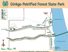
Ginkgo Petrified Forest State Park Map
Map of park with detail of trails and recreation zones
31 miles away
Near Vantage, WA 98950

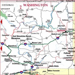
Eastern Washington Road Map
31 miles away
Near WA, USA

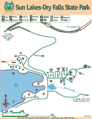
Sun Lakes-Dry Falls State Park Map
Map of park with detail of trails and recreation zones
43 miles away
Near 34875 Park Lake Rd, NE Coulee City, WA

Sun Lakes-Dry Falls State Park Map
Map of park with detail of trails and recreation zones
43 miles away
Near 34875 Park Lake Rd, NE Coulee City, WA

 click for
 Fullsize

0 Comments
New comments have been temporarily disabled.