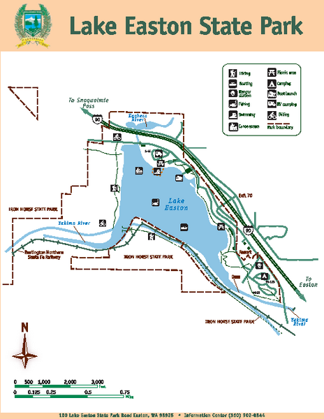
Lake Easton State Park Map
near 150 Lake Easton State Park Rd, Easton, WA
View Location
Map of island with detail of trails and recreation zones
See more
 See more
Nearby Maps

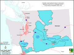
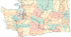
Washington Steelhead Salmon Map
Shows federally listed steelhead salmon evolutionarily significant units in Washington state.
15 miles away
Near Washington State

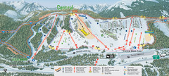
The Summit at Snoqualmie Summit Central Ski Trail...
Trail map from The Summit at Snoqualmie, which provides night and terrain park skiing. It has 30...
16 miles away
Near Snoqualmie Pass, Washington, United States

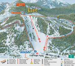
The Summit at Snoqualmie Summit East Ski Trail Map
Trail map from The Summit at Snoqualmie, which provides night and terrain park skiing. It has 30...
16 miles away
Near Snoqualmie Pass, Washington, United States

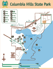
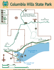
Columbia Hills State Park Map
Map of park with detail of trails and recreation zones
17 miles away
Near Columbia Hills State Park, Dallesport, WA 98617

Columbia Hills State Park Map
Map of park with detail of trails and recreation zones
17 miles away
Near Columbia Hills State Park, Klickitat County, WA...

 click for
 Fullsize

0 Comments
New comments have been temporarily disabled.