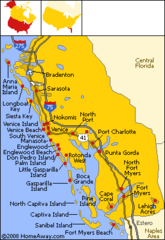
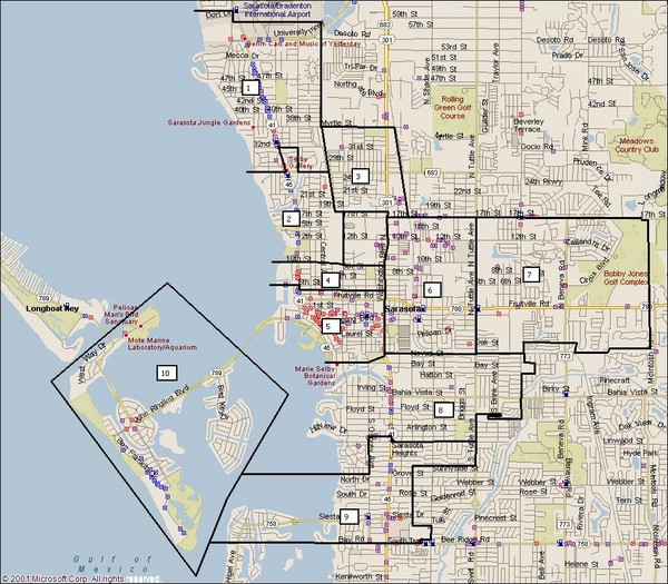
Sarasota, Florida City Map
near Sarasota, Florida
See more
 See more
Nearby Maps

Bradenton Beach Map
Bradenton Beach and surrounding beach map.
10 miles away
Near University Park, Florida

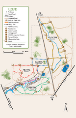
Oscar Scherer State Park Trail Map
Map of park with detail of hiking trails throughout
12 miles away
Near 1843 S. Tamiami Trail, Osprey, Florida

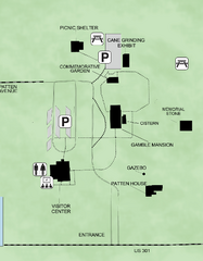
Gamble Plantation Historic State Park Map
Map of park with detail of recreation zones
13 miles away
Near 3708 Patten Avenue, Ellenton, Florida

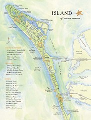
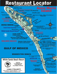
Ana Maria Island Tourist Map
16 miles away
Near Ana Maria Island

Anna Maria Island, Florida Restaurant Map
17 miles away
Near Anna Maria Island, FL

 click for
 Fullsize

0 Comments
New comments have been temporarily disabled.