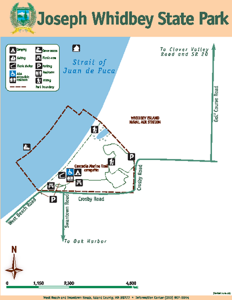
Joseph Whidbey State Park Map
near West Beach & Swantown Roads, Island County, WA 98277
See more


 See more
Nearby Maps

Oak Harbor tourist map
Tourist map of Oak Harbor, Washington. Shows all businesses.
3 miles away
Near oak harbor, washington

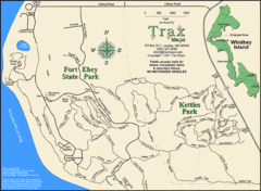
Ft Ebey/Kettle Park Trail Map
Trail map of Fort Ebey Park and Kettle Park, Washington
6 miles away
Near 98110

Coupeville tourist map
Tourist map of Coupeville, Washington. Shows all businesses.
6 miles away
Near coupeville, washington

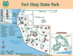
Fort Ebey State Park Map
Map of park with detail of trails and recreation zones
7 miles away
Near 400 Hill Valley Drive, Coupeville, WA 98239

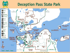
Deception Pass State Park Map
Map of park with detail of trails and recreation zones
7 miles away
Near Deception Pass State Park, Whidbey's Island...

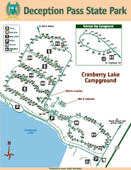
Deception Pass State Park Map
Map of park with detail of trails and recreation zones
8 miles away
Near Deception Pass State Park, Whidbey's Island...

 click for
 Fullsize

0 Comments
New comments have been temporarily disabled.