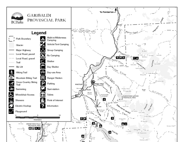
Garibaldi Provincial Park Map
near Garibaldi Provincial Park, BC
See more


 See more
Nearby Maps

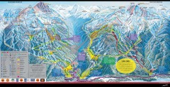
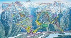
Whistler Blackcomb Ski Trail Map 2007-2008
Official ski trail map of the Whistler Blackcomb ski area from the 2007-2008 season. Site of Alpine...
4 miles away
Near Whistler, BC, Canada

Whistler Blackcomb Ski Trail map 2005-06
Official ski trail map of the Whistler Blackcomb ski area from the 2005-2006 season. Site of the...
4 miles away
Near Whistler, Canada

Whistler Blackcomb Trail map 2010-2011
Official ski trail map Whistler Blackcomb for the 2010-2011 season.
4 miles away
Near Whistler, BC

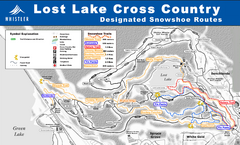
Lost Lake, Whistler Hiking and Biking Trail Map
5 miles away
Near Lost Lake, Whistler

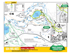
Whistler Cross Country Connection Snowshoeing Ski...
Trail map from Whistler Cross Country Connection.
5 miles away
Near Whistler, British Columbia, Canada

 click for
 Fullsize

0 Comments
New comments have been temporarily disabled.