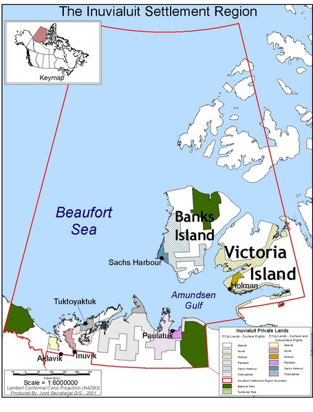
Inuviauit Settlement Region Map
near Banks Island
See more
 See more
Nearby Maps

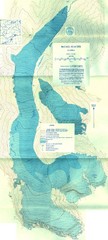
McCall Glacier Topo Map
Topographic map of the McCall Glacier in Alaska.
305 miles away
Near McCall Glacier,Alaska

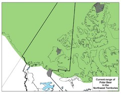
Polar Bear Range in Northwest Territories Map
308 miles away
Near Northwest Territories, Canada

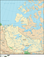
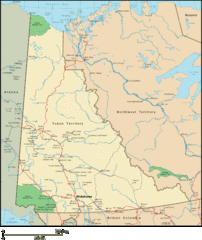
Northwest Territories Map
Overview map of the Northwest Territories of Canada.
311 miles away
Near Northwest Territories

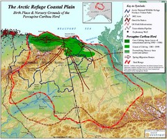
Arctic Refuge Coastal Plain Map
Guide to birthplace and nursery grounds of the porcupine caribou herd
328 miles away
Near ANWR, AK, Us

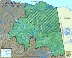
Arctic National Wildlife Refuge Boundary Map
Guide to the Arctic National Wildlife Refuge in Alaska
333 miles away
Near ANWR, AK, US

 click for
 Fullsize


0 Comments
New comments have been temporarily disabled.