Edit this map

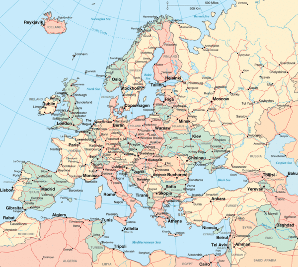
Europe Political Map

near Europe

View LocationView Map

58.299985 23.0493 2 satellite
Nearest Map »  Fullsize
1592 × 1427271 KBGIF

Political map of Europe

From geographic-guide.com

scott added
Mar 10, 2008

Rating
no ratings

See an error? Report it.

Keywords

reference, political, europe

0 Comments

New comments have been temporarily disabled.
See more

Nearby Maps

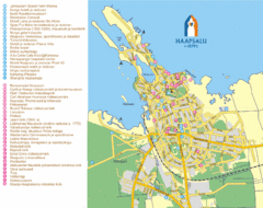
Haapsalu Tourist Map

Haapsalu Tourist Map

Tourist street map of Haapsalu

48 miles away

Near Haapsalu, Estonia
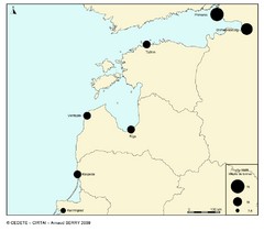
baltic ports in 2008 Map

baltic ports in 2008 Map

64 miles away

Near Upesgrīva, Latvia
Keywords: transportation
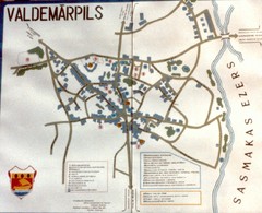
Valdemarpils Tourist Map

Valdemarpils Tourist Map

Tourist map of town of Valdemarpils, Latvia. From photo taken in town square, 1989

66 miles away

rated 2 by 1 person
Near Valdemarpils, Latvia
Keywords: tourism, town, latvia
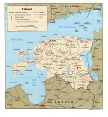
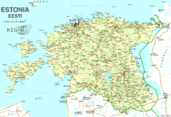
Estonia Map

Estonia Map

Road map of Estonia

74 miles away

Near Estonia
Keywords: reference, estonia, road
Estonia Country Map

Estonia Country Map

74 miles away

Near Estonia
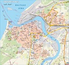
Ventspils city Map

Ventspils city Map

82 miles away

Near ventspils latvia
Keywords: reference
See more